
About the project
Expanding real-time water-level observations
OWL-IoT is building a practical coastal monitoring network along Wisconsin's Lake Superior shoreline using low-power connected sensors and public, real-time data delivery.
Water levels along the Wisconsin coast of Lake Superior can change rapidly due to storms, seiches, seasonal lake-level variability, ice processes, and long-term coastal change. These changes affect shoreline flooding, harbor operations, coastal infrastructure, wetlands, public access, and nearshore safety. Despite the importance of these conditions, real-time water-level observations remain limited along much of the Wisconsin shoreline.
The OWL-IoT project — Observing Water Levels with the Internet of Things — expands coastal monitoring with real-time water-level sensors at five locations: Superior, Cornucopia, La Pointe, Stockton Island, and Saxon Harbor. The network uses low-power IoT technology to collect and transmit observations for public viewing, archiving, and future analysis. The project is designed to evaluate sensor accuracy and reliability using NOAA- and IOOS-style water-level guidance while making the data useful to local communities, coastal managers, researchers, and regional Great Lakes observing systems.

Installed Hohonu water-level sensor at Stockton Island.
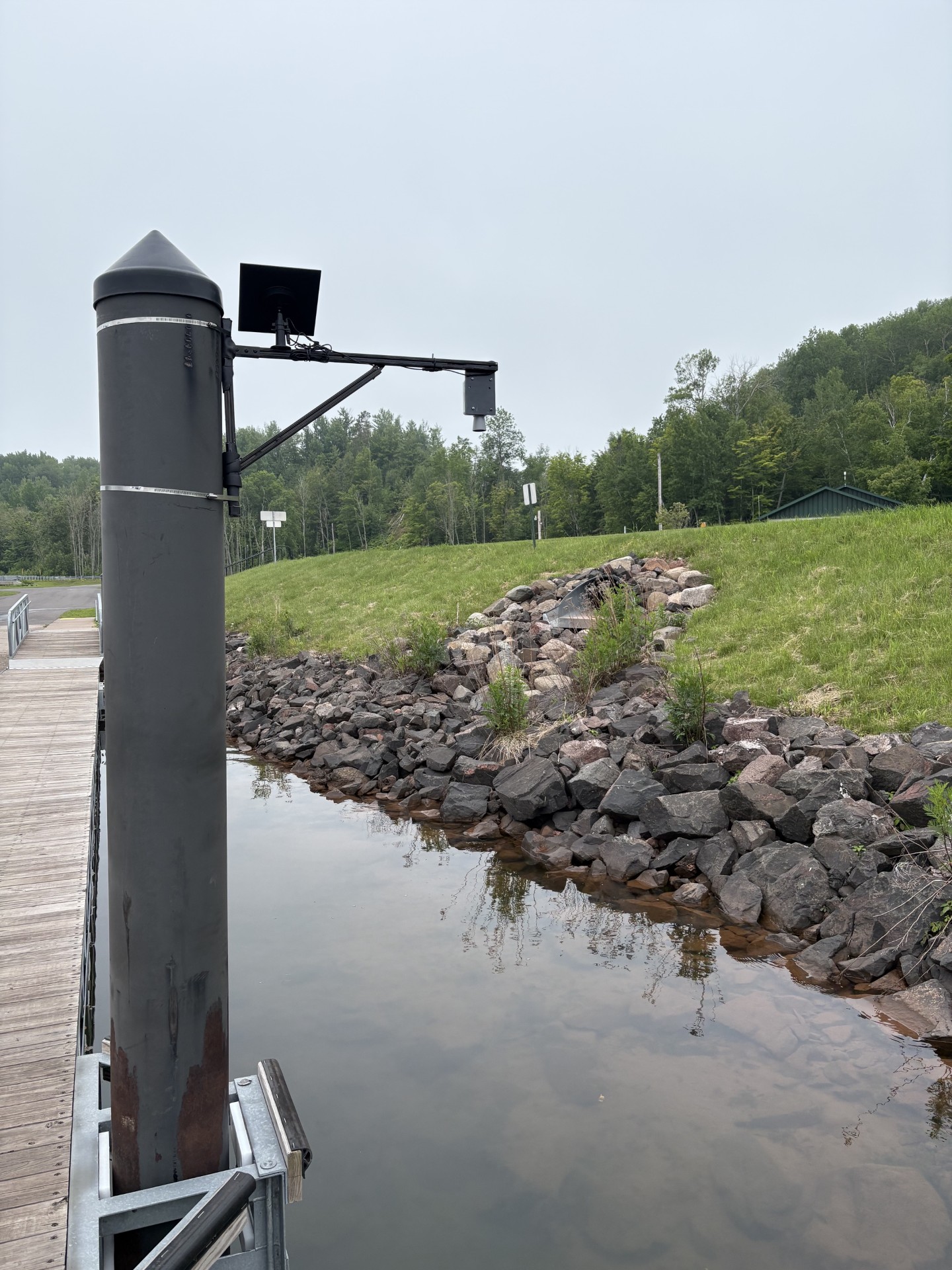
Decentlab MBX LoRaWAN water-level sensor installation at Saxon Harbor.